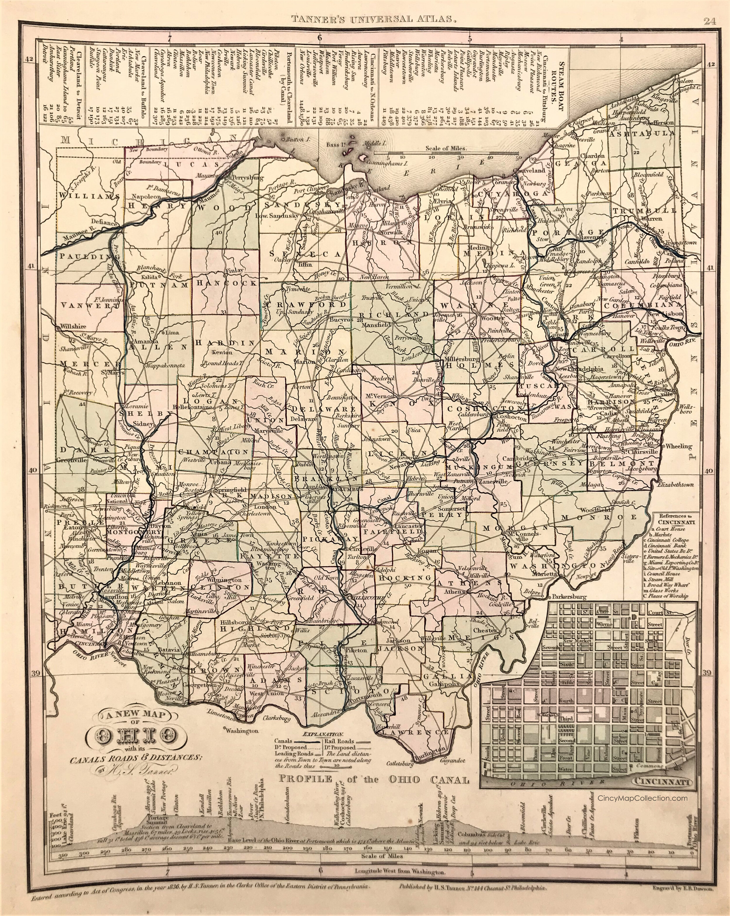
A New Map of Ohio, c. 1836
 “A New Map of Ohio with its Canals, Roads & Distances: by H.S. Tanner” 1836
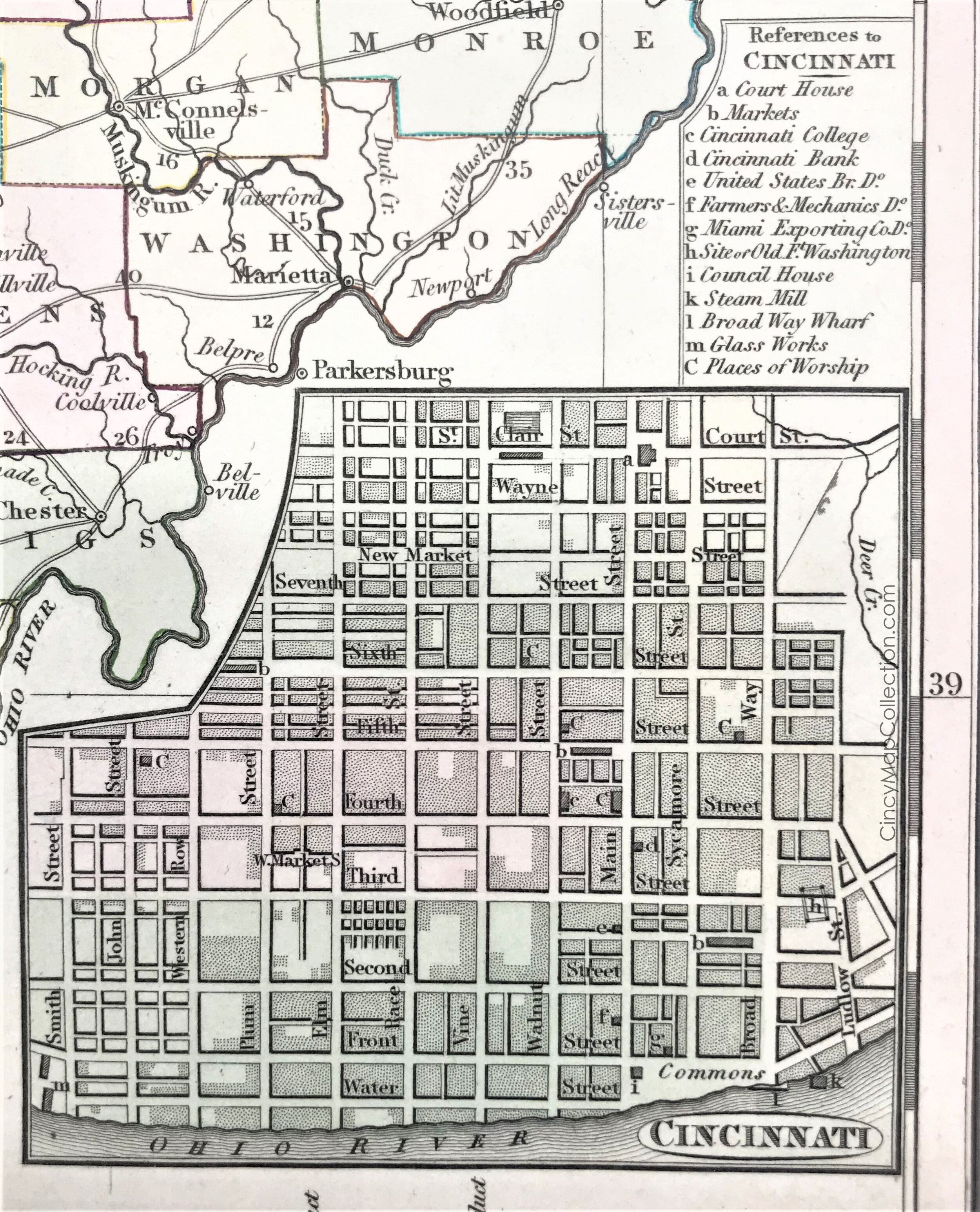
 Cincinnati, Ohio c. 1836
 Southwest Ohio, c. 1836
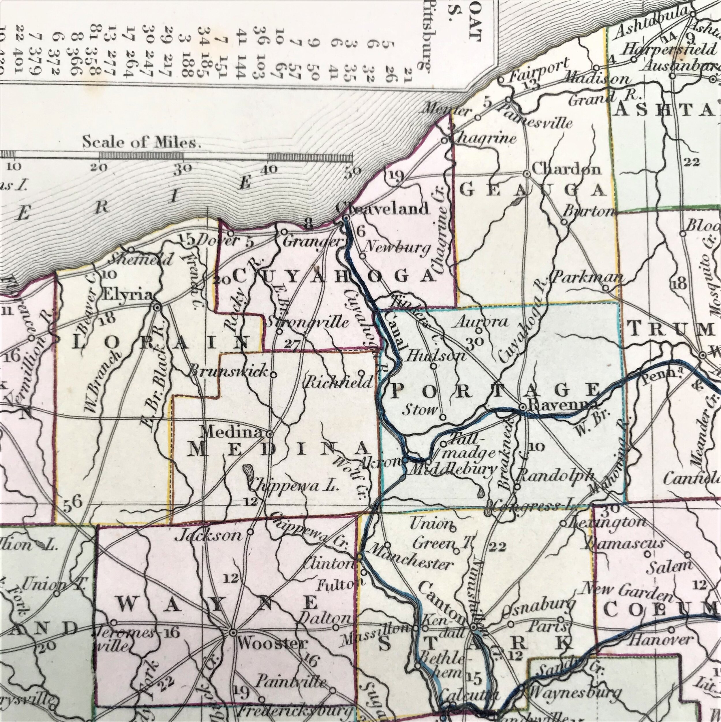
 Northeast Ohio, c. 1836 - note the spelling of “Cleaveland”
 Central Ohio, c. 1836
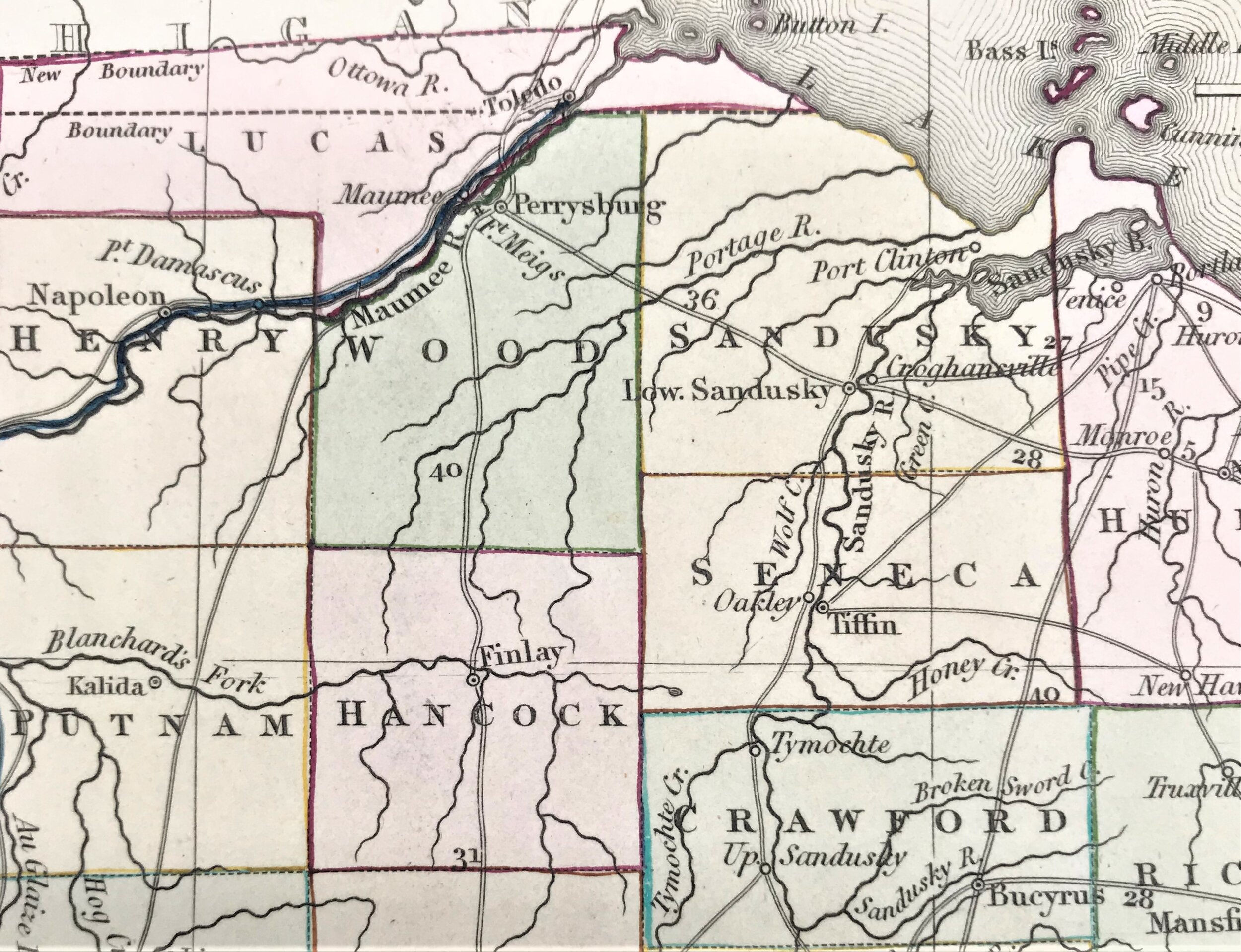
 Northwest Ohio, c. 1836
 Ohio’s Steam Boat Route distances 1836
2020-04-05 10.22.24.jpg
2020-04-05 10.22.17.jpg
 Profile of the Ohio Canal
prev / next